
MapGO
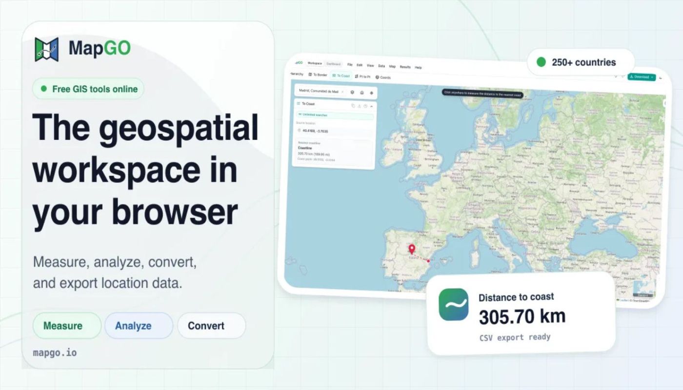
The geospatial workspace that runs in your browser
What is MapGO?
How far is this point from the sea? From the nearest border? Which country, region and district are it in? MapGO answers those in one click, then converts your Shapefile, GeoJSON, KML or GeoPackage into whatever format you need next. No GIS software


Feedback